Ruchika Deshmukh | Founder Of R-Geo Solution | Interview With TheTalkStreet
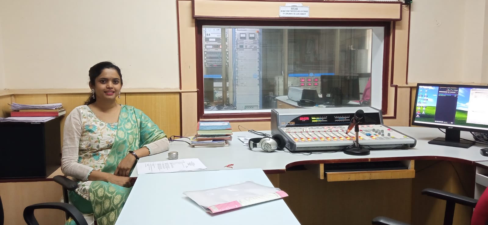
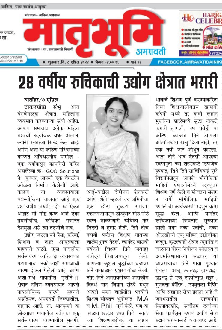
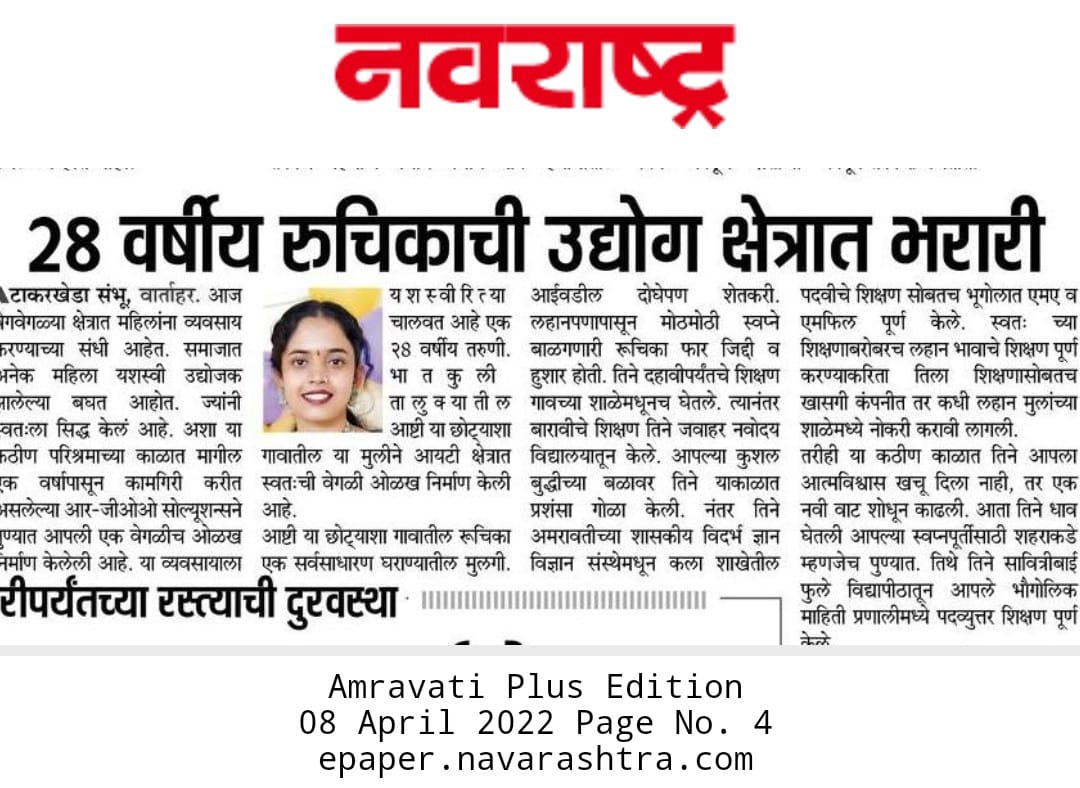
Ruchika Deshmukh, originally from Amravati, is the founder of R-Geo Solution, a startup that specializes in GIS-based services. Under her leadership, the company has established itself as a leader in providing sophisticated geographic data analysis solutions. R-Geo Solution caters to both government and commercial sectors, ensuring enhanced decision-making through advanced GIS technology.
![]() Could you share some details about your early life and upbringing? In what ways has it influenced the person you are today?
Could you share some details about your early life and upbringing? In what ways has it influenced the person you are today?
Originating from a small town in the Amravati district, I emerged from a lower-middle-class farming family with no prior business experience. However, my upbringing was rich in lessons of resilience and self-reliance. From a young age, I took on significant responsibilities such as banking, grocery shopping, and household management, all with the support of my parents. These experiences cultivated my strength and self-sufficiency, equipping me to tackle challenges with determination and confidence. My father imparted important values of integrity, strength, and civility, despite the many sacrifices we had to make. My childhood, filled with cheerfulness, friendliness, and a vivid imagination, has greatly influenced the determined and visionary person I am today.
![]() What was your educational background, and how did it contribute to your decision to become an entrepreneur?
What was your educational background, and how did it contribute to your decision to become an entrepreneur?
My academic journey began at Jawahar Navodaya Vidyalaya, where I completed my 12th grade. This experience was pivotal in developing my leadership skills, boosting my confidence, and learning to address new challenges with determination. I furthered my studies in Geography at Sant Gadge Baba University, Amravati, where I completed my graduation, post-graduation, and MPhil, gaining a robust understanding of both the artistic and scientific dimensions of the field. My interest in Geography was further enriched by a postgraduate degree in GIS and Remote Sensing from Pune University. The ability of GIS to address real-world challenges through spatial analysis captivated me deeply. This academic experience not only intensified my passion for the subject but also motivated me to apply my knowledge innovatively, ultimately guiding me towards an entrepreneurial journey.
![]() How did your previous experiences or jobs prepare you for the challenges of entrepreneurship?
How did your previous experiences or jobs prepare you for the challenges of entrepreneurship?
My journey into entrepreneurship has been profoundly shaped by a range of diverse experiences. After completing my 12th grade, I began teaching students from grades 1 to 7, drawing inspiration from my father's coaching background. This initial role significantly enhanced my communication skills and patience. During my MPhil, I also taught KG 2 while managing my academic responsibilities. Subsequently, I worked as a private sales executive in Amravati and Nagpur, where I gained valuable insights into perseverance, adaptability, and market dynamics. As I transitioned into the GIS and remote sensing field, my entry into the corporate world further developed my team management skills and underscored the importance of continuous skill enhancement. Collectively, these experiences have honed my entrepreneurial traits, such as curiosity, self-discipline, and risk-taking, and have built the resilience required for success.
![]() What personal sacrifices have you made to build your business, and were they worth it?
What personal sacrifices have you made to build your business, and were they worth it?
As I embarked on my entrepreneurial journey, I made several personal sacrifices, including leaving a secure job with a steady income. This decision required me to adopt a more modest lifestyle, while many of my peers continued to advance in high-paying roles at multinational companies. My time and resources were devoted entirely to building my business, which often made balancing personal sacrifices with professional demands challenging. Despite the difficulties, my commitment to my vision never faltered. These sacrifices, though significant, have proven to be deeply rewarding. They have led to considerable progress and growth, reaffirming my belief in the power of dedication and perseverance in achieving one's goals.
![]() Tell us about your startup and the range of GIS-based services you provide to the government and commercial sectors?
Tell us about your startup and the range of GIS-based services you provide to the government and commercial sectors?
Our start-up, R-Geo Solution, specializes in providing a comprehensive range of GIS-based services tailored to meet the needs of both government and commercial sectors. We deliver innovative solutions that enhance spatial data analysis, empowering clients to make well-informed decisions.
For government clients, we offer services such as urban planning, environmental monitoring, and infrastructure management. Our solutions support the development of smart cities by delivering precise geographic data and analytical tools that enhance planning and implementation processes.
In the commercial sector, we cater to industries like real estate, transportation, and agriculture. Our services include site selection analysis, asset management, and market analysis, all powered by advanced GIS technology to optimize business operations and strategic decision-making.
Discover how our expertise can benefit your organization by visiting our website: https://rgeosolution.com
![]() How did you come up with the idea for your startup, and what was the initial vision?
How did you come up with the idea for your startup, and what was the initial vision?
The idea for my startup was inspired by my passion for geography and GIS, with the vision to harness geospatial technology for solving real-world problems. I aimed to create a platform that would empower both government and commercial sectors by using GIS not just for mapping, but as a critical tool for decision-making and sustainable development.

![]() What are the key applications of GIS technology that your startup focuses on?
What are the key applications of GIS technology that your startup focuses on?
Our startup, R-Geo Solution, specializes in key applications of GIS technology, including:
- Urban Planning and Development: We assist government agencies in optimizing land use, planning infrastructure, and managing urban growth more effectively.
- Environmental Management: Our solutions offer tools for monitoring natural resources, tracking environmental changes, and supporting conservation efforts.
- Disaster Management: We provide GIS services that enhance planning and response strategies, enabling quicker and more efficient disaster management.
These applications not only boost operational efficiency but also promote sustainable development and support informed policy-making.
![]() What were some of the biggest challenges you faced while launching and scaling your GIS startup?
What were some of the biggest challenges you faced while launching and scaling your GIS startup?
Building my GIS startup presented numerous challenges, particularly as a woman navigating the male-centric tech world. I had to confront societal biases and consistently prove my competence and leadership abilities. Funding was also a major hurdle, as entrenched views can often disadvantage women in leadership roles. Nevertheless, I remained steadfast, channeling these challenges into determination and driving my business towards success.
![]() How do you stay updated with the latest advancements in GIS technology and ensure that your services remain cutting-edge?
How do you stay updated with the latest advancements in GIS technology and ensure that your services remain cutting-edge?
To keep pace with advancements in GIS and remote sensing, I:
- Attend Workshops and Conferences: I participate in industry events to stay informed about emerging technologies and trends.
- Read Academic Journals: I regularly follow leading publications to access the latest research and developments in the field.
- Engage in Professional Networks: I connect with peers through forums and groups to discuss and explore new innovations.
- Follow Industry News: I stay updated with the latest from GIS software providers and technology developers.
These practices help me ensure that my services remain at the forefront of the industry, incorporating the latest advancements.
![]() What measurable impact have your GIS services had on your clients, particularly in the government sector?
What measurable impact have your GIS services had on your clients, particularly in the government sector?
The GIS services I offer have brought significant, measurable advantages to government clients, including:
- Enhanced Decision-Making: GIS provides precise data that supports more informed and strategic decision-making.
- Improved Public Services: By leveraging GIS, public service delivery is enhanced through better spatial analysis and planning.
- Operational Efficiency: The integration of GIS streamlines processes, cutting down operational costs and saving time.
- Resource Optimization: GIS improves the management of resources, such as land and environmental assets, leading to sustainable and successful project outcomes.
- Data Accuracy: Clients benefit from high-quality geographic data, which enhances their analysis and reporting.
These outcomes highlight the power of GIS technology in driving efficiency, accuracy, and effectiveness in government operations.
![]() What is your business model, and how do you generate revenue from your GIS-based services?
What is your business model, and how do you generate revenue from your GIS-based services?
My business model is centered on providing specialized GIS-based services tailored to the unique needs of various clients. I generate revenue through several key streams:
- Consulting Services: I offer expert consulting on GIS projects, including spatial analysis, data management, and system integration. Clients pay for my expertise and the customized solutions I deliver.
- Project-Based Fees: For specific GIS projects, I charge fees based on the project’s scope, complexity, and duration. This includes services like mapping, data visualization, and geospatial analysis.
- Training and Workshops: I conduct training sessions and workshops for organizations seeking to develop their internal GIS capabilities, generating revenue from these educational services.
This diversified business model ensures a steady revenue stream while delivering valuable GIS solutions to a wide range of clients.
![]() Have you sought any funding or investment to grow your startup? If so, what was that experience like, and what challenges did you face?
Have you sought any funding or investment to grow your startup? If so, what was that experience like, and what challenges did you face?
Yes, I have pursued funding to expand my startup, which involved developing business plans and pitching to investors. The primary challenges were generating interest and negotiating favorable terms. Despite these hurdles, the process proved valuable in refining our strategy and preparing for future growth.
![]() What are your plans for scaling your business in the next 2-3 years, especially in terms of expanding your GIS services?
What are your plans for scaling your business in the next 2-3 years, especially in terms of expanding your GIS services?
My plans for scaling the business in the next 2-3 years include:
- Expanding Services: Introducing advanced GIS solutions that integrate AI and drone technologies for enhanced data analysis.
- Focusing on Rural Areas: Concentrating efforts on rural areas to support better infrastructure and resource management.
- Upgrading Technology: Investing in state-of-the-art GIS, AI, and drone technologies to keep our services at the forefront.
- Geographic and Market Expansion: Expanding our presence in new regions and markets through strategic partnerships and targeted outreach.
- Enhanced Training: Offering comprehensive training programs to empower clients with GIS expertise.
These initiatives will foster significant growth and elevate our impact within the GIS industry.
CONNECT :
*************************
TheTalkStreet is an innovative online digital magazine that amplifies the voices of Entrepreneurs, Bloggers, Celebrity, Startups, Trend setters, Influencers, Peoples, Social empowerment and more. Through our website and social media platforms, we share compelling stories and conduct insightful interviews to connect with our diverse audience. Additionally, we strategically run advertisements across various platforms to help you generate valuable leads.
Embrace the opportunity to showcase your journey, achievements, and vision, establishing you & your brand as a leader in your industry. Join www.thetalkstreet.com , to inspire, engage, and connect with a global community eager to embrace innovative ideas and transformative experiences.
If you have a compelling story to share with our readers, please reach out to us at hello@thetalkstreet.com We will carefully evaluate your submission and may extend an invitation to feature it if it meets our publishing standards.



-(1).jpg)


